Why these books matter
Think of ALRS, the ITU manuals and IAMSAR as your ship’s advanced navigation / comms toolkit. They’re reference libraries that tell you:
- who to call (MMSI lists),
- which frequencies to use where,
- how to decode / act on Maritime Safety Information, and
- how to run search & rescue operations correctly.
Examiners expect you to know what information each publication holds and how to apply it using specific GMDSS equipment and modes (DSC, radiotelephony, NBDP, Inmarsat, NAVTEX, SafetyNET, EPIRB/SART etc.). Below is a clear, practical guide.
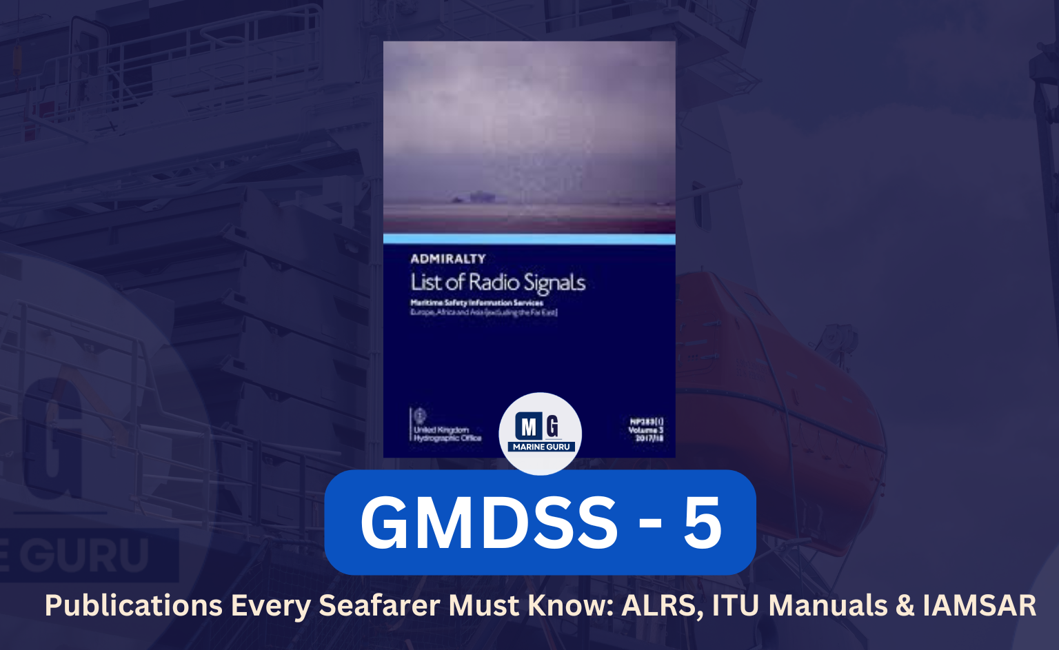
1) ALRS — Admiralty List of Radio Signals (Volumes NP281–NP286)
ALRS is divided into six volumes (NP281–NP286). Each volume is a concentrated reference for different aspects of maritime radio.
Volume 1 — NP281: Maritime radio stations & satellite services
Contents
- Frequencies and classes of emission for maritime services
- Maritime satellite services (Inmarsat et al.)
- How to report piracy or emergencies to shore stations
- Radio regulations and carriage/usage rules
- Regional split: Part 1 = Europe, Africa, Asia; Part 2 = Americas, Australia, Philippines, Indonesia, Greenland, Iceland
How to use (example)
- Scenario: Your ship receives a suspicious skiff approach off a coast. You must report to the nearest RCC and the coastal authority.
- Equipment/mode: VHF DSC (Ch 70) to call coast station + VHF voice (Ch 16) to describe situation; or Inmarsat-C (data) if out of VHF range.
- ALRS use: Look up the coastal station entry for that region (Volume 1) to get the correct callsign/frequency and reporting procedures.
Exam tip: Know that Volume 1 lists frequencies by region and how piracy/security reporting should be done.
Volume 2 — NP282: Radio aids to navigation, satellite nav, radio time signals
Contents
- Radar beacons (racons), Aids to Navigation details
- Satellite navigation systems & DGPS stations
- Radio time signal stations and legal time references (used for chronometer checks)
- Morse code and special navigational signals
How to use (example)
- Scenario: You need to verify your ship’s chronometer and calibrate logs.
- Equipment/mode: Use VHF/MF to receive radio time signal (or NAVTEX / Inmarsat as applicable).
- ALRS use: Check Volume 2 to find the nearest radio time signal station and its frequency.
Exam tip: Be able to state where to find radio time signals and why they matter (chronometer calibration, position fixing).
Volume 3 — NP283: Maritime Safety Information (MSI)
Contents
- Sources and station lists for MSI: NAVTEX stations, SafetyNET service, coastal broadcasts (FleetNET/SafetyNET)
- How MSI is disseminated and which stations broadcast NAVWARN, MET reports etc.
How to use (example)
- Scenario: You must receive a navigational warning for the area (e.g., minefield, wreck).
- Equipment/mode: NAVTEX receiver (NBDP-like reception) or SafetyNET (Inmarsat) for area-wide MSI.
- ALRS use: Volume 3 tells you which NAVTEX transmitter covers your area and the schedule/frequency.
Exam tip: Be able to say how MSI is received (NAVTEX for coastal MSI, SafetyNET/Inmarsat for wider MSI), and where to find station info (ALRS Vol 3).
Volume 4 — NP284: Meteorological observation stations worldwide
Contents
- List of weather stations worldwide, their frequencies and broadcast schedules
- Use for meteorological and oceanographic info vital for safety and voyage planning
How to use (example)
- Scenario: You need the latest synoptic weather broadcast for route planning.
- Equipment/mode: HF/MF radiotelephony or NAVTEX (where available); or Inmarsat weather service.
- ALRS use: Volume 4 gives the station list and broadcast details to tune in.
Volume 5 — NP285: GMDSS detailed material
Contents
- Distress communications and procedures (including false alert handling)
- Procedures for operating DSC, EPIRB, SART and Inmarsat equipment
- Extracts from ITU Radio Regulations relevant to GMDSS
- Lists of stations by sea-area (A1, A2, A3) and the specific stations that provide DSC/MSI etc.
How to use (example)
- Scenario: You must revalidate your knowledge on how to cancel a false DSC alert.
- Equipment/mode: DSC controller (VHF/MF/HF) and Inmarsat-C for large-area messages.
- ALRS use: Volume 5 explains the cancellation procedure, to which stations it should be sent, and required content.
Exam tip: Volume 5 is the go-to ALRS volume for GMDSS exam questions — know its structure and where to find distress/MSC procedures.
Volume 6 — NP286: Pilot services, VTS, Port operations
Contents
- Pilot boarding points, VHF channels for pilotage, ports’ VTS frequencies and reporting procedures
- National & international reporting points and recommended procedures
How to use (example)
- Scenario: Approaching a port with a VTS — you must contact pilot info and report ETA.
- Equipment/mode: VHF radiotelephony (Channel as per port), consult ALRS Vol 6 for pilot frequency and reporting format.
Exam tip: Use Vol 6 when preparing for port arrival procedures and reporting formats.
2) ITU Manuals — especially Volumes 4 & 5 (lists of stations & identities)
The ITU manuals are essentially directories — think of them as the telephone directory for maritime radio:
ITU Manual No.4 — List of Coast Stations and Special Service Stations
Contents
- Alphabetical listing of coast radio stations, MMSI/callsigns, and service details.
How to use
- Scenario: You need to find the MMSI and contact details of a specific coast station when operating DSC or Inmarsat communications.
- Equipment/mode: Use DSC on VHF/MF or Inmarsat data to direct a message to that MMSI.
- ITU use: Look up the coast station in ITU Vol.4 to get the exact MMSI/callsign and authorized service details.
ITU Manual No.5 — List of Ship Stations and Maritime Mobile Service Identities (MMSI)
Contents
- Country-wise listing of ship stations and MMSI allocations (arranged by flag/registry).
How to use
- Scenario: You must check the MMSI of a ship in your incident report.
- Equipment/mode: Use DSC or Inmarsat to address that MMSI, or verify vessel identity.
- ITU use: Find the ship’s MMSI or callsign in Vol.5 (sorted by flag/state).
Exam tip: Be able to say that ITU Vol.4 is coast-station indexed (alphabetically) and Vol.5 is organized by country/flag (ship station list). Both are updated regularly — use the latest edition.
3) IMSR — International Aeronautical and Maritime Search & Rescue Manual
IMSR (often referred to as IAMSAR in international texts — International Aeronautical and Maritime Search and Rescue) contains procedures and guidance for search & rescue operations. It’s large; here we cover the essentials examiners expect.
IAMSAR structure (brief)
- Section 1 — Overview: principles of SAR system, authorities and responsibilities.
- Section 2 — Rendering Assistance: duties of vessels/aircraft to assist.
- Section 3 — On-scene Coordination: roles of On-scene Coordinator (OSC) & On-scene Commander.
- Section 4 — On-board Emergencies & Procedures: how to act during specific shipboard emergencies.
How to use IAMSAR (practical example)
- Scenario: Your vessel receives a DSC distress and becomes the first on-scene. The RCC requests you to act as On-scene Coordinator (OSC).
- Equipment/mode: VHF radiotelephony for local on-scene comms (working channel), MF/HF NBDP or Inmarsat to coordinate with RCC and survivor pickup craft. SART/EPIRB and radar are used for locating survivors.
- IAMSAR use: The manual tells you your responsibilities as OSC, recommended search patterns, how to allocate search legs, and reporting sequences back to RCC.
Exam tip: You only need to know the purpose of IAMSAR, the four high-level sections, and what an On-scene Coordinator does (coordinate search units, keep RCC informed, assign search patterns). Detailed search patterns are deep subject matter — be aware but examiners usually ask the essentials.
How these publications relate to equipment & modes — quick mapping
| Purpose | Publication to consult | Typical equipment/mode used |
|---|---|---|
| Find NAVTEX / MSI station | ALRS Vol 3 | NAVTEX receiver / Inmarsat (SafetyNET) |
| Find coastal DSC station / MMSI | ALRS Vol 1 / ITU Vol 4 | VHF DSC (Ch70) / MF/HF DSC |
| Satellite service info & Inmarsat guidance | ALRS Vol 1 & 5 | Inmarsat terminals (data/voice) |
| Pilot & VTS frequencies | ALRS Vol 6 | VHF radiotelephony |
| Time signals & DGPS stations | ALRS Vol 2 | VHF/MF time signal receivers / GPS |
| Coast station or ship MMSI lookup | ITU Vol 4 & 5 | DSC addressing / Inmarsat addressing |
| Search & rescue procedures | IAMSAR | VHF (on-scene), HF/INMARSAT (coordination), SART/EPIRB (locating) |
Practical study & exam tips (what examiners love)
- When asked “Where would you find NAVTEX station info?” — answer: ALRS Volume 3 (and mention NAVTEX equipment / mode).
- If question is “Where to find coast station MMSI?” — answer: ITU Manual No.4.
- If asked about On-scene Coordinator responsibilities — cite the IAMSAR and list 3 duties (coordinate units, maintain comms, report to RCC).
- In viva/oral, always mention which equipment and mode you would use (e.g., “I’d use VHF DSC on Channel 70 to alert the coast station, then switch to Channel 16 for voice”).
- For every procedure you quote, be ready to say the equipment (VHF/MF/HF/Inmarsat/NAVTEX) and mode (DSC, Radiotelephony, NBDP, SafetyNET).
Memory tricks & quick mnemonics
- ALRS Volumes: “1–6: Station → Nav → MSI → Meteo → GMDSS → Pilot” — memorize as: Stations, Navigation, MSI, Meteorology, GMDSS, Pilot.
- ITU 4 vs 5: 4 = Coast list (Alphabetical) — “Coast’s Contact” ; 5 = Ship list (Country/Flag) — “Ships by State”.
- IAMSAR: I = Instructions for rescue; think 4-steps: Overview, Assist, On-scene, Onboard.
- Exam recall: Use the sentence — “If I need a station, open ALRS; if I need an MMSI, open ITU; if I coordinate rescue, open IAMSAR.”
Short FAQs (write these on the back of your study sheet)
Q1 — Where do I find the NAVTEX transmitter covering my area?
→ ALRS Volume 3 lists NAVTEX transmitters and their schedules.
Q2 — Where do I find a coast station’s MMSI?
→ ITU Manual No.4 (coast stations list). For ship MMSI, consult ITU Manual No.5.
Q3 — Which ALRS volume tells you about Inmarsat and satellite use?
→ ALRS Volume 1 (satellite services) and Volume 5 (GMDSS details and Inmarsat procedures).
Q4 — Where in IAMSAR do I find On-scene Coordinator roles?
→ IAMSARIAMSAR Section 3 — On-scene coordination.
Q5 — Which manuals should you carry / consult during an emergency on board?
→ Keep ALRS Vol 1 & 3, ITU Vol 4 & 5 (or their digital equivalents), and IAMSAR accessible. Know which device to use (VHF/DSC/NAVTEX/Inmarsat) before calling.
Final practical checklist before you go on watch
- ALRS Volumes 1 & 3: bookmarked for coastal & MSI lookups.
- ITU Vol 4 & 5: MMSI and coast / ship contact info ready.
- IAMSAR: bookmark On-scene Coordinator summary.
- Know which equipment you will use: VHF (Ch16/Ch70), MF/HF (DSC/NBDP), NAVTEX, Inmarsat (SafetyNET).
- Practice: call a coast station via DSC (training channel/with permission) and locate its entry in ALRS/ITU.
What to remember
These publications are the operational dictionary of GMDSS — use them to confirm frequencies, identify stations, or follow rescue procedures. In exams and in real life, always link publication → equipment → mode in your answers. That shows you not only know the book, but you know how to use it.