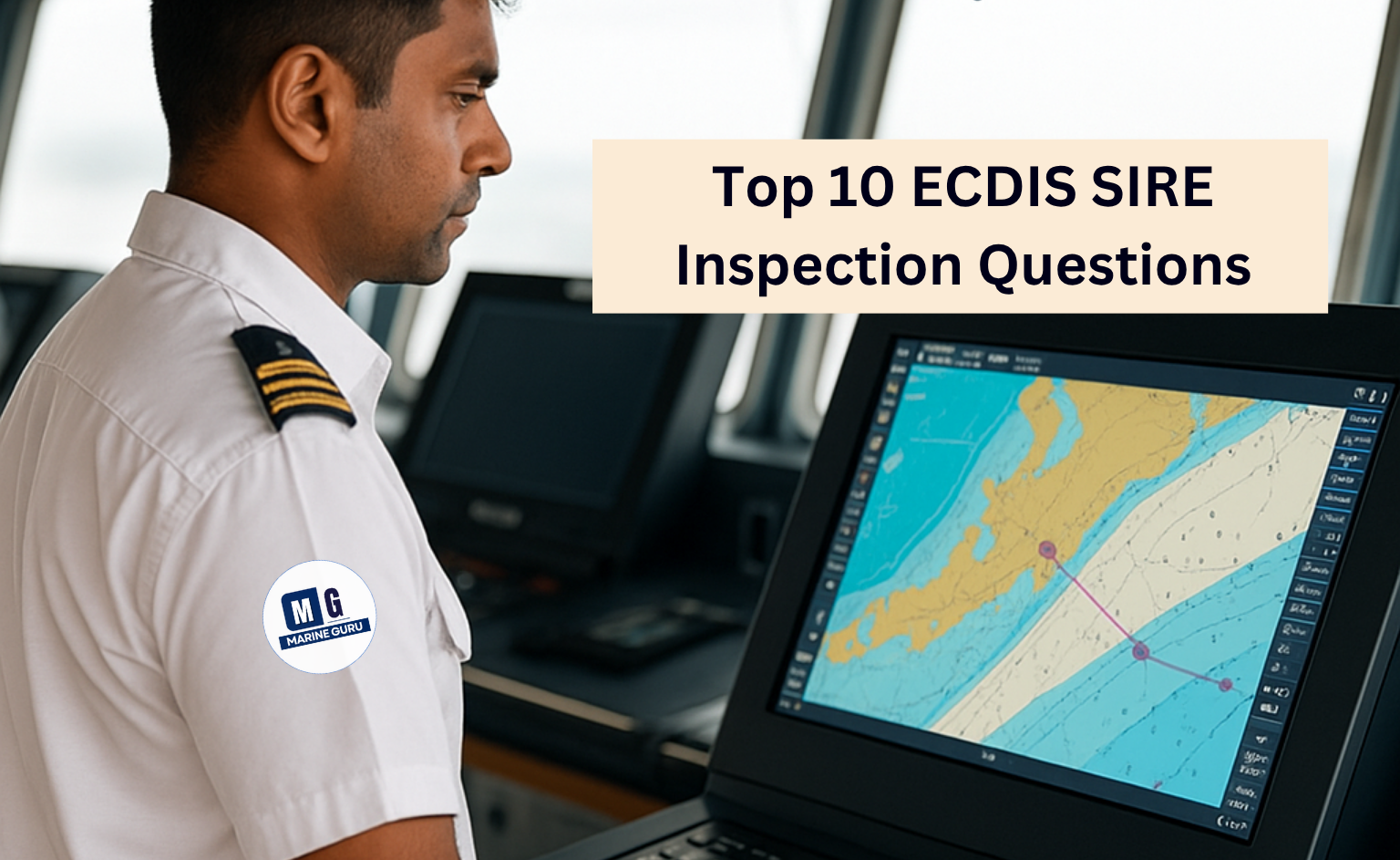
Before we see ECDIS SIRE inspection questions, let me tell you during a SIRE (Ship Inspection Report Exchange) inspection, the Electronic Chart Display and Information System (ECDIS) is one of the most scrutinized tools on the bridge.
Inspectors want to ensure that officers are not only competent in operating the system but also applying it to real-life navigation scenarios in compliance with maritime regulations.
In this guide, we break down the most common ECDIS-related questions you may face, explain how to answer them confidently, and share tips to avoid common mistakes that can cost you valuable points in the inspection.
Snippet
SIRE inspectors typically ask about ECDIS functions like passage planning, route checking, ENC management, safety settings, and alarm use. To answer confidently, demonstrate practical steps on your vessel’s system, explain your decision-making, and show that your settings follow both company policy and IMO guidelines.
ECDIS SIRE inspection questions — Explained
1. Show me your last passage plan on ECDIS
This is almost always the first thing they’ll ask. Your plan needs to tick all the boxes for company rules and IMO guidelines.
Make sure it includes:
- Correct route with waypoints
- Parallel index lines
- No-Go areas (but not over-marked)
- Wheel-over points
- Abort points
- Watch level markers
- Position plotting intervals for each leg
- Security level points and engine room call points
💡 Tip: Have it ready on-screen and know how to explain why you’ve set it up that way.
2. Do you do a route check? How?
The route check feature in ECDIS automatically scans a planned route for potential hazards and generates relevant alarms.
The second mate can then review each alert to determine whether the route requires modification to ensure safe navigation
ECDIS has a function that scans the route for dangers and alarms. To show it:
- Open your planned route in table editor
- Press Safety Check
- Review every error — click “Jump” to see where it is
- Decide if you need to change the route to avoid the hazard
💡 Don’t just click “Acknowledge” — show you understand each alarm.
3. How do you check ENCs are up-to-date?
On JRC ECDIS:
- Go to 6.Chart → ENC Update Report
- This shows correction week numbers for each chart
- Check the Summary for total updated vs not updated
- Use Route Filter to check for your voyage
This will give the ENC status report for the ENCs for the chosen route.
4. How do you know you have all ENCs for your route?
The process of ordering ENCs varies depending on your provider—ChartCo, NAVTOR, or others—each with its own workflow.
But once ENCs are ordered, received, and updated in the ECDIS, your job as 2nd mate is to ensure full chart coverage for the upcoming voyage.
Step-by-Step Checks:
- Use the ENC Update Report with Route Filter This shows if any ENCs are missing along your planned route. If something’s outdated or absent, it’ll be flagged here.
- Check the Status Report This gives specific reasons why certain ENCs aren’t up to date—helpful for troubleshooting.
- Understand Cross-Track Error Limitations The route filter only checks within the set cross-track error (XTE). If it’s set to 1NM, ECDIS only verifies chart coverage within 1NM of the route. That’s not enough.
Best Practice:
- Aim for 50NM ENC Coverage on Either Side of Route This buffer ensures you have charts available in case of emergency deviation—giving you 4–5 hours of navigational flexibility.
- How to Check Extended Coverage:
- Temporarily increase the XTE in the route plan (e.g., to 50NM).
- Re-run the ENC status report with route filter.
- If all ENCs show “up to date,” you’re covered for that wider corridor.
- If ECDIS Limits XTE Settings: Use your ENC provider’s software (ChartCo/NAVTOR) to generate a full list of required ENCs. Then manually verify that each chart is loaded in the ECDIS.
- For PAYS Subscribers: You only need to check charts not covered under PAYS—those will auto-load when needed.
This is just for guidance that a new 2nd mate can use as a checklist:
ECDIS ENC Coverage Checklist – 2nd Mate SOP
Before Voyage – ENC Preparation
Order ENCs via Provider Software
Use ChartCo, NAVTOR, or your designated ENC provider.
Follow company-specific ordering procedures.
Confirm ENC Updates in ECDIS
Load and update all received ENCs.
Use the ENC Update Report to verify correction weeks.
Route-Based ENC Verification
Run ENC Update Report with Route Filter
Check for missing or outdated ENCs along the planned route.
Use “Status Report” to identify reasons for any gaps.
Understand Cross-Track Error (XTE) Limit
Default XTE (e.g., 1NM) only checks charts within that corridor.
This is insufficient for emergency deviations.
Best Practice – Wider Coverage
Set XTE to 50NM Temporarily
Modify route plan to increase XTE.
Re-run ENC status report with route filter.
Confirm all ENCs are up to date for the wider corridor.
If ECDIS Limits XTE Settings
Use ENC provider software to generate full chart list for route.
Manually verify each chart is loaded in ECDIS.
Special Case – PAYS Subscription
For PAYS-Enabled Systems
Charts auto-load when vessel enters coverage area.
Only verify ENCs not covered under PAYS.
✅ Final Checks Before Departure
Confirm chart coverage for at least 50NM on either side of route.
Ensure all alarms and safety settings are correctly configured.
Be ready to explain your process during SIRE inspection.
5. How do you plot navigation warnings?
Most SIRE inspectors expect navigation warnings to be plotted using the “manual update” method on ECDIS. This ensures that critical warnings are integrated directly into the chart data and trigger alarms during route checks or look-ahead functions.
While some ECDIS systems (like JRC) allow plotting via user charts, this method doesn’t generate alarms during safety checks. If you use user charts, be prepared to explain how you ensure the route doesn’t pass through any hazards—typically by manually verifying each warning during passage planning
There are basically two ways of plotting navigation warnings:
- Manual Update — safer, triggers alarms
- User Chart — faster but no alarm during route check
If using user chart, tell the inspector you manually verify during passage planning that your route avoids those warnings.
6. What IHO Presentation Library does your ECDIS use?
This controls how chart symbols look.

 On JRC: Right-click → “S-57/C-MAP/ARCS Information” → “Chart Legend” → see version

 Know if it’s the latest — you can check on IHO’s site or ask your company
The IHO Presentation Library is basically a set of visual standards that tell ECDIS manufacturers how chart symbols should appear—like their color, shape, and size. Every ECDIS system must follow these guidelines to ensure consistency and clarity across different vessels and systems.
🔹 Why It Matters to You as 2nd Mate:
- You should always know which Presentation Library version your ECDIS is using.
- It’s important to confirm whether it’s the latest version approved by IHO.
- If your ECDIS can’t display this information, it could lead to a SIRE observation or even a PSC detention.
🔹 How to Check It on JRC ECDIS:
- Right-click anywhere on the ECDIS screen.
- Select “S-57/C-MAP/ARCS Information.”
- Go to “Chart Legend”—you’ll find the Presentation Library version listed there.
🔹 How to Know What the Latest Version Is:
- Visit the IHO website.
- Contact your ECDIS manufacturer.
- Ask your company directly.
Stay Updated
Click here to read recent maritime news
7. How do you plot positions from non-GPS sources?
During a SIRE inspection, you might be asked how you plot positions on ECDIS using sources other than GPS. And yes, you should absolutely be able to do that.
That includes visual bearings, range and bearing from radar, or even celestial observations. Different ECDIS systems have different ways to input these fixes, so it’s important you’re familiar with how your system handles it.
If you’ve actually used these features during passage planning or navigation, it becomes much easier to demonstrate them confidently to the inspector. They’re not just looking for textbook answers—they want to see that you know your system and can apply it practically.
8. What safety settings do you use on arrival?
Safety settings (depth, contour, shallow water, deep water) should not be the same for the whole voyage. Adjust them for port approaches if tide is used in UKC calculations.
Example: If safety depth is 13m but tide adds 3m, reduce your setting to 10m at that point.
9. What do you do after crossing a safety contour?
Let’s get one thing straight: just because a vessel crosses the safety contour doesn’t mean it’s suddenly in unsafe waters. For example, if your calculated safety depth is 11 meters, the nearest safety contour might be 15 meters. But inside that contour, you might still have depths of 13 or 14 meters—which are perfectly safe.
Now here’s the catch: ECDIS will only give an alarm when you cross the safety contour, not when you’re about to cross into an unsafe depth. That’s why you need to have a clear procedure in place for what happens after the safety contour is crossed.
There are two accepted methods:
Method 1 – Active Monitoring
After crossing the safety contour, the navigator must stay alert and manually ensure the vessel doesn’t enter waters shallower than the safety depth. This method relies on your vigilance and situational awareness.
Method 2 – Manual Update Line
During passage planning, the 2nd mate draws a line using the manual update feature to separate safe and unsafe areas. This line acts as a secondary safety barrier—if the vessel crosses it, ECDIS will trigger an alarm. It’s a proactive way to maintain safety beyond the safety contour.
Company Policy Reminder:
Your company must document which method the bridge team should follow. Some companies leave it to the master’s discretion, while others specify one approach.
✅ In Short – What You Should Do:
- Know your safety depth and safety contour.
- Understand what lies inside the contour—don’t assume it’s all unsafe.
- Follow either Method 1 (manual vigilance) or Method 2 (manual update alarm line).
- Be ready to explain your procedure clearly during a SIRE inspection.
10. What is SCAMIN and when do you use it?
SCAMIN – Scale Minimum Visibility on ENC
SCAMIN (Scale Minimum) is a setting defined by ENC makers to control the visibility of chart features based on zoom level. For example:
- If a buoy has SCAMIN set to 1:50,000, it will disappear when you zoom in beyond that scale.
- This applies to many features—buoys, soundings, pipelines, cables, etc.
How to Toggle SCAMIN on JRC ECDIS
To turn SCAMIN on or off:
- Go to Menu 6.Chart → Settings → S-57/C-MAP/ARCS Information
- Under “View Common”, find “Scale Minimum” under Chart Symbol
- Toggle it ON or OFF as needed
Why Is SCAMIN Even a Thing?
To declutter the ECDIS screen during navigation. It helps reduce visual noise so you can focus on critical features.
Correct Usage of SCAMIN
| Stage | SCAMIN Setting | Reason |
|---|---|---|
| Passage Planning | OFF | You want to see everything—no missing buoys or features. |
| Navigation | ON | Declutters the screen for better situational awareness. |
| Deviation from Route | OFF | You must review the area thoroughly—turn SCAMIN off to see all details. |
✅ In Short – What You Should Do:
- Keep SCAMIN OFF during planning to avoid missing features.
- Turn it ON during navigation for a cleaner display.
- Switch it OFF again if deviating from the planned route.
Common ECDIS Mistakes During SIRE Inspections (and Fixes)
| Mistake | Impact | Fix |
|---|---|---|
| Not updating ENCs | Fails compliance | Update weekly & verify |
| Ignoring alarms | Safety violation | Acknowledge & resolve |
| Static safety settings | Increased grounding risk | Adjust per voyage stage |
| SCAMIN always on | Missed hazards | Use selectively |
Quick-Reference Table for SIRE ECDIS Questions
| Question | Quick Answer |
|---|---|
| How do you create a passage plan? | Input waypoints, hazards, and compliance markers in ECDIS |
| How to perform route check? | Use Safety Check, review and amend |
| How to check ENC corrections? | ENC Update Report with route filter |
| What is CATZOC? | Data confidence indicator in ENC |
| How to plot navigation warnings? | Manual update or approved method |
How do you prepare for an ECDIS SIRE inspection?
Review top ECDIS functions, update ENCs, and practice demonstrating procedures to inspectors.
What safety settings are required in ECDIS?
Safety depth, contour, and height settings per company policy, adjusted for tide.
What is the best way to plot navigation warnings?
Manual updates trigger alarms; user charts are quicker but require careful review.
ECDIS has become the centerpiece of bridge navigation rounds during SIRE inspections. And yes, it can feel overwhelming at first—there’s a lot packed into that system. But here’s the truth:
If you’ve mastered the basics, there’s nothing to worry about.
Most officers feel the pressure simply because they haven’t had proper training or haven’t explored the system deeply. But once you understand the core functions—passage planning, route checks, safety settings, SCAMIN, manual updates, and alarms—you’re already ahead of the curve.



Liferaft - Launch, contents, requirements, maintainance
[…] Don't Miss This Top 10 ECDIS SIRE Inspection Questions and How to Answer Them Like a Pro […]